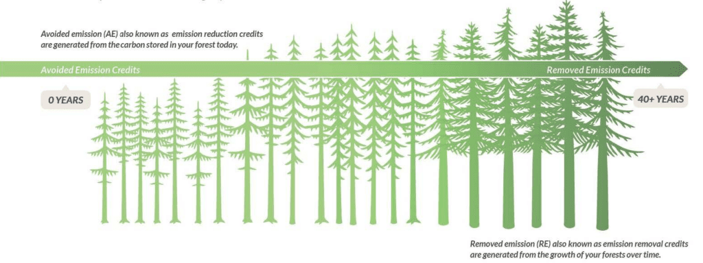
The NativState Mixed Upland Forests of the Ozarks & Ouachita Mountains is a first of its kind, Programmatic Development Approach (PDA) to Improved Forest Management project. The project aggregates forestlands...
View Project Details →


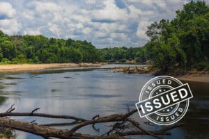
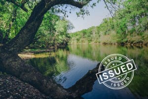
ACR 900 | Calion Ouachita River Wilderness
Calion Lumber Company, Inc. is the largest private land conservation project in Arkansas. With over 40,000 acres of bottomland hardwoods conserved along the Ouachita River, it is truly in a...
View Project Details →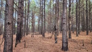
ACR 912 | Mixed Broadleaf Forests of the Ozark Highlands & Bottomland Forests of the Mississippi Delta
The NativState Mixed Broadleaf Forests of the Ozark Highlands to the Bottomland Forests of the Mississippi Delta is a programmatic development approach (PDA) to aggregated Improved Forest Management. This method...
View Project Details →