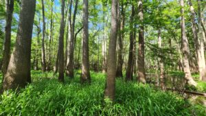
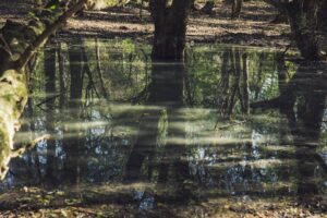
The Bottomland Forest of the Louisiana Plains project aggregates forestlands across northeastern Louisiana with a commitment to sustainable forest management and provides significant climate benefits through carbon sequestration from native...
View Project Details →


ACR 802 | Bottomland Forests of the Mississippi Delta and Coastal Plains
The Bottomland Forests of the Mississippi Delta & Coastal Plains is a first of its kind Programmatic Development Approach (PDA) to Improved Forest Management. It aggregates forestlands from across the...
View Project Details →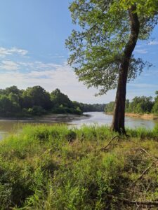
ACR 900 | Calion Ouachita River Wilderness
Calion Lumber Company, Inc. is the largest private land conservation project in Arkansas. With over 40,000 acres of bottomland hardwoods conserved along the Ouachita River, it is truly in a...
View Project Details →