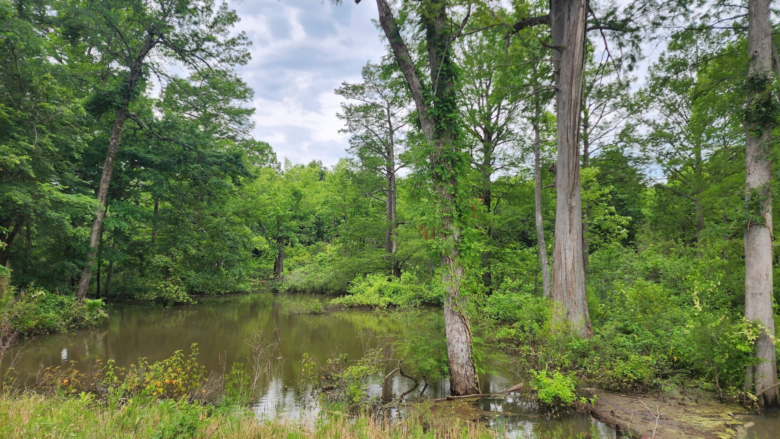
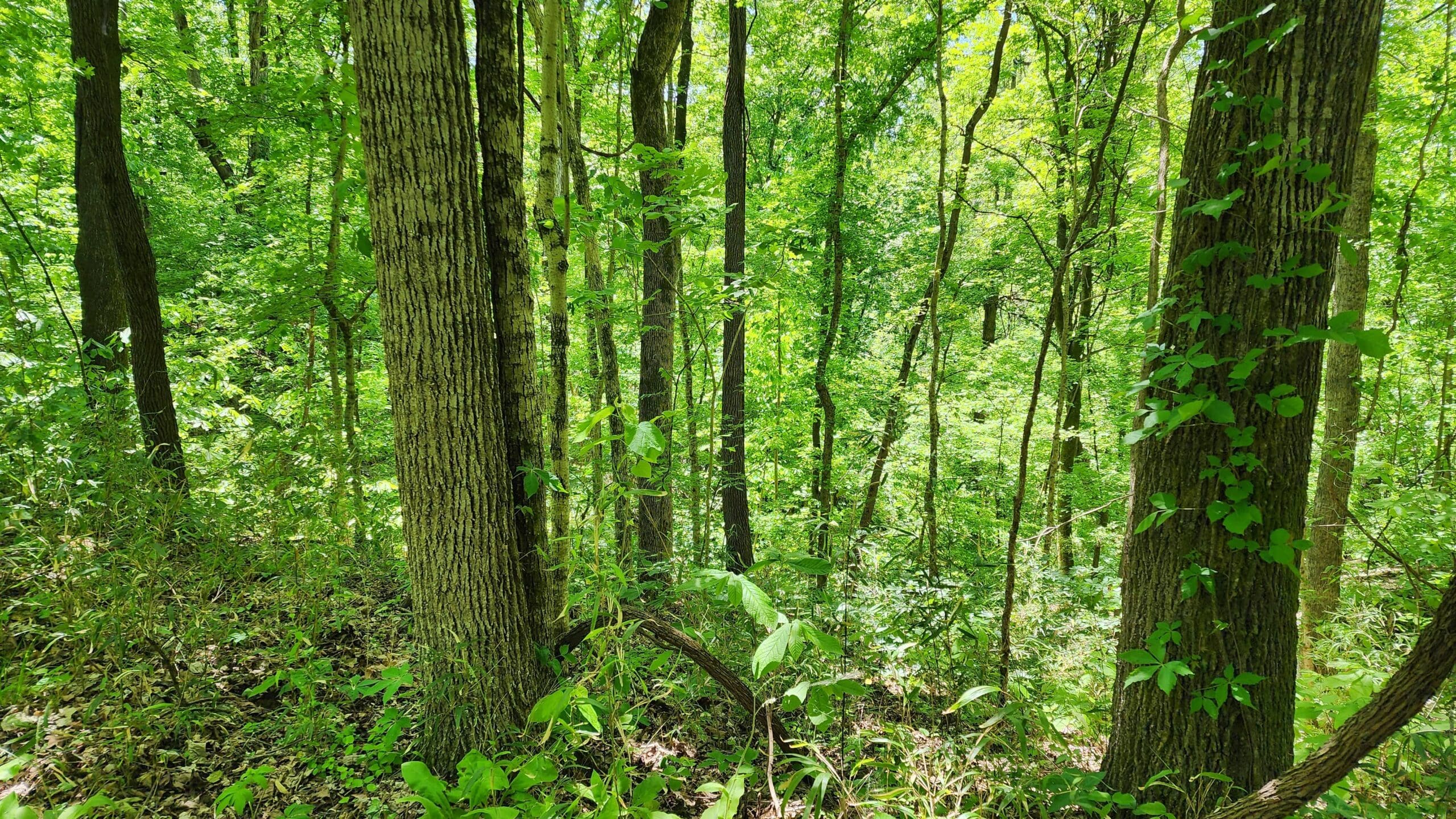
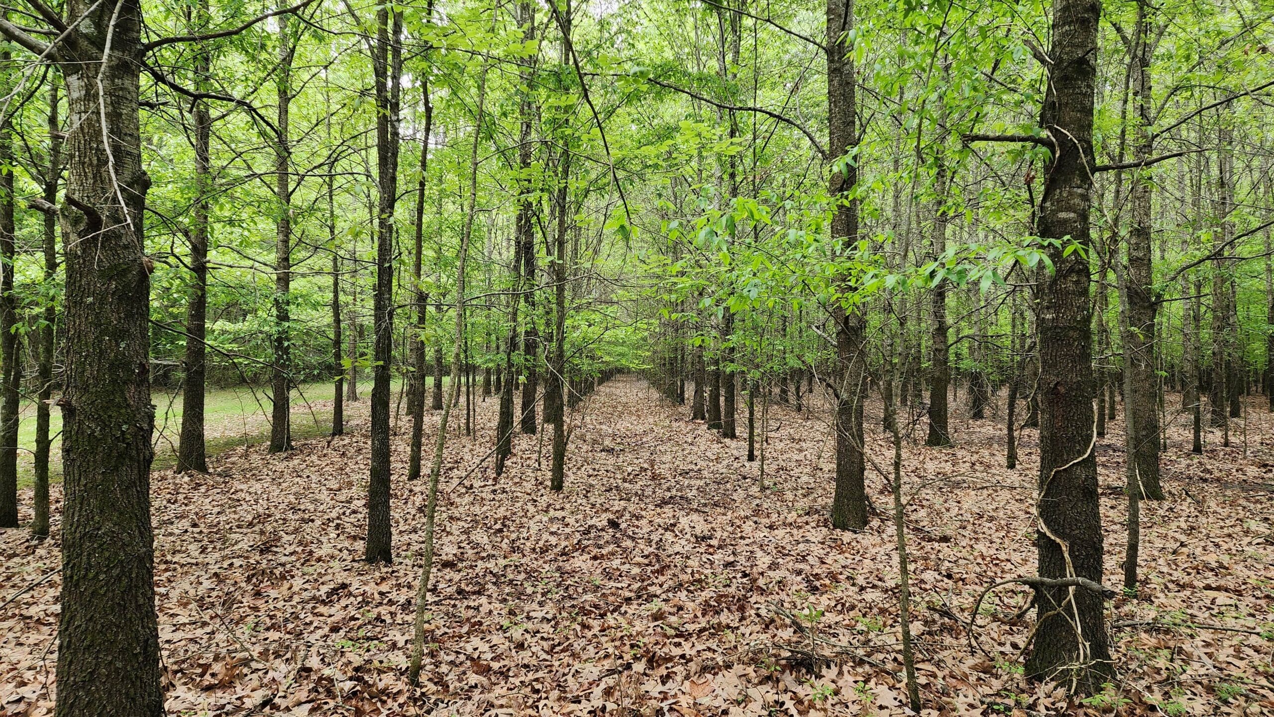
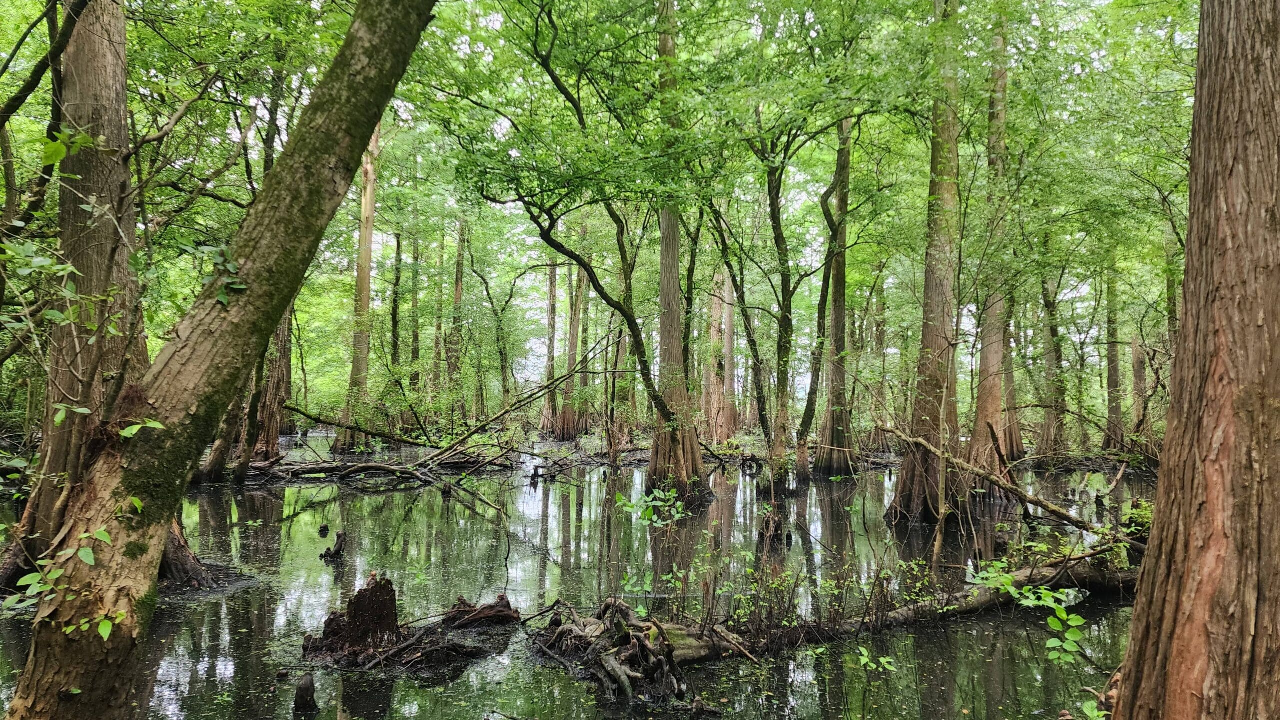
The Mississippi Alluvial Plain contains the largest continuous system of wetlands in North America, and Arkansas’s rivers hold some of the most imperiled aquatic fauna on the continent. NativState’s Bottomland Forests of the Mississippi Alluvial Plain Project is a powerful example of stewardship in this ecologically vulnerable region. The lands within this project protect multi-river riparian habitat across three river systems as well as a genuinely rare ecosystem in the sandbar grassland.
Conservation Highlights
Designated U.S. Fish and Wildlife Service critical habitat for the Ouachita Fanshell, plus records of the federally threatened Arkansas Fatmucket and Rabbitsfoot and several other imperiled mussels within the Saline River
Supports the federally endangered Pink Mucket alongside Crystal Darter, Western Sand Darter, and other species of concern within the Black River
Documented occurrence of the Ouachita Rock Pocketbook, a critically imperiled, federally endangered mussel in the Little River
A rare Arkansas River sandbar grassland community characterized by the Southern Grasslands Institute
Potential habitat for two federally endangered Pondberry sites (managed protectively until botanical surveys confirm)
Water-quality and sediment retention for downstream users across four river systems
Standing timber protects real communities’ drinking water supply. Forestland provides source water above municipal surface intakes for Pocahontas and Hope, Arkansas.
Let's Talk
Whether you’re interested in buying directly, through a marketplace, or investing in a new project, we welcome the opportunity to speak with you.